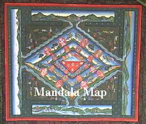
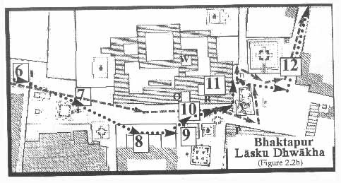
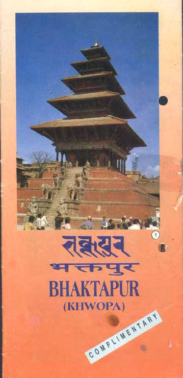
 Folded, the tourist map is 8 by 4 inches and is in full photographic color, printed on slick high-quality paper. The cover features a photograph of Nyatapola Temple [L], and then below it the words "Bhaktapur" (in Newari script), "Bhaktapur" (in devanagari), "Bhaktapur"(in Roman script), and finally "Khwopa" (in Roman script). In the lower right corner set off by a frame of light blue, and also because it is titled counterclockwise at a 45 degree angle, is the word, "complimentary."
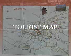
Maps are crucial for Tourism. As Mark Lietchy has noted, tourists arriving without foresight or preparation are unshielded from the facts of Nepali poverty and underdevelopment (1996, 12). Any notion of an "unguided" or independent tourist is erroneous. As such, while travelers in South Asia valorize such independence against the "group-tour" types, there are in fact very few individual travelers who go anywhere "on their own" without at least one much-consulted guidebook. Such a book, just as a flesh and blood guide, tells one what must be seen and how to see it. Tourists are thus always embedded in discourses and structures that make tourism a meaningful, rule-bound, and powerfully productive activity (MacCannel 1976, chs. 1 and 2).