Contexts
(Re)colonizing Tradition
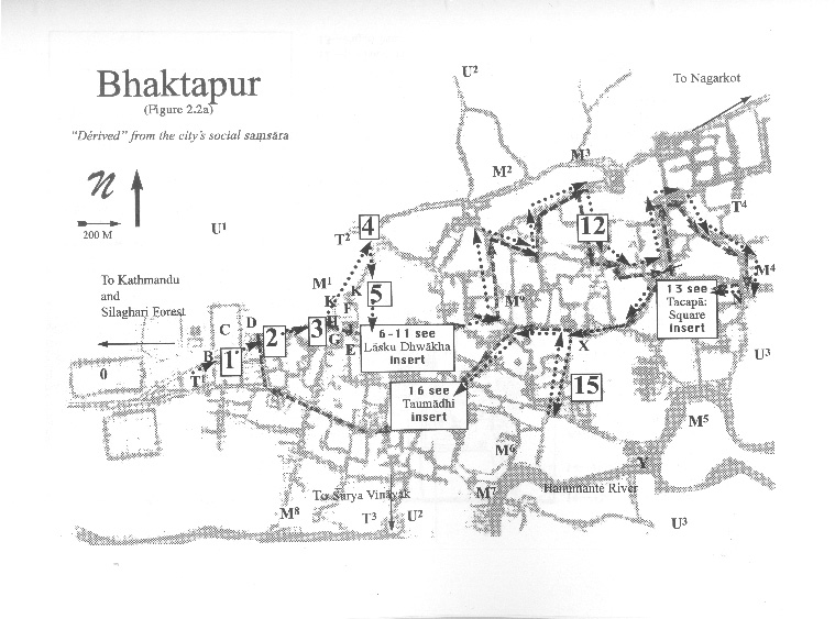
A Pedestrian Guide to a "Traditional" City
Welcome to Bhaktapur
[1] The Tea Stall at Guhepukhu
[2] Nava Durga Chitra Mandir
[3] Khauma Square
[4] Tourist Motor Park
[5] Indrani Pitha
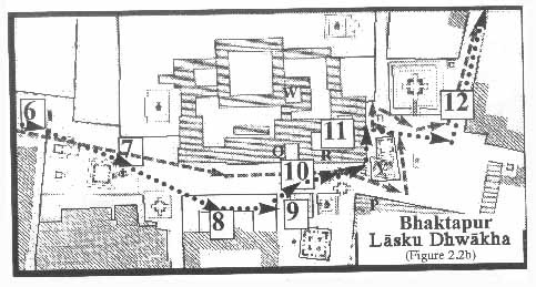
[6]Lasku Dhwakha Gate
[7]Char Dham
[8]Cafe de Temple
[9]Batsala Temple
[10] Batsala Temple
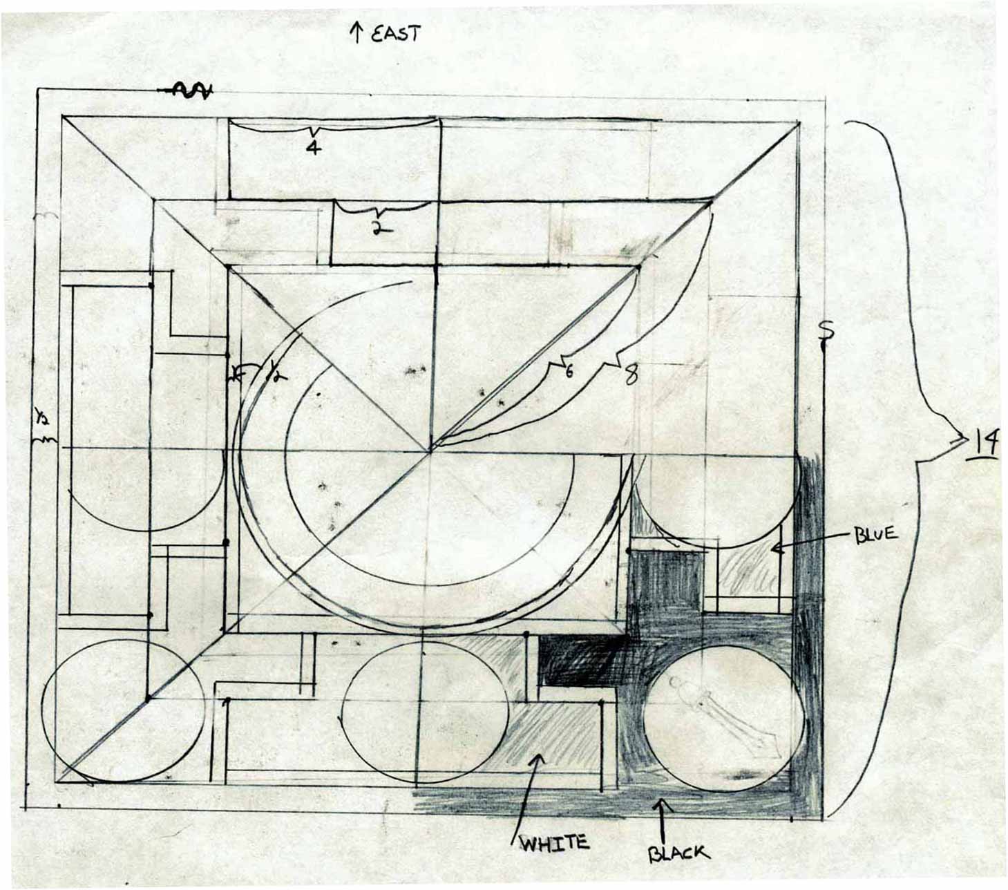
[11] City Hall
[12] The Procession Route
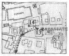
[13] Pujari Math
[14] The Peacock Restaurant
[15] Sewage Collection Ponds
[16] Bhairavanath Temple
|
Government Map
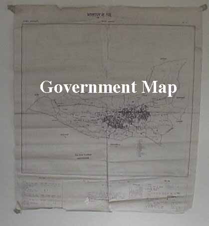
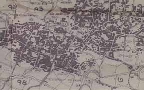
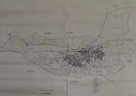
The Bhaktapur district offices are marked on the middle of a map produced by Nepaląs national government. Printed on rough thin paper, the "government map" is 23 by 26 inches. It is printed in purple ink and was made by the "solar blue print method" of reproduction. The map, written in Nepali, was produced by the national Panchayat in 1976. Its main concern is with depicting political districts; it also displays building patterns, roads and rivers, and town borders. While the mandala map was concerned with ritual space, and the tourist map was a commodification of space, the government map was produced for the "governmentality." Foucault sees governmentality as the tendency in the West for government to dominate over all other forms, resulting, on the one hand, in the formation of a series of specific government apparatuses and, on the other, in the development of a whole complex of knowledges (Foucault 1991, 1023).
  
|
Maps
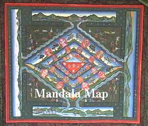
Mandala Map
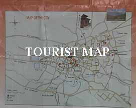
Tourist Map
Government
Map
Pedestrian
Tour Map
Bhaktapur
Durbar Square
Tacapa Map
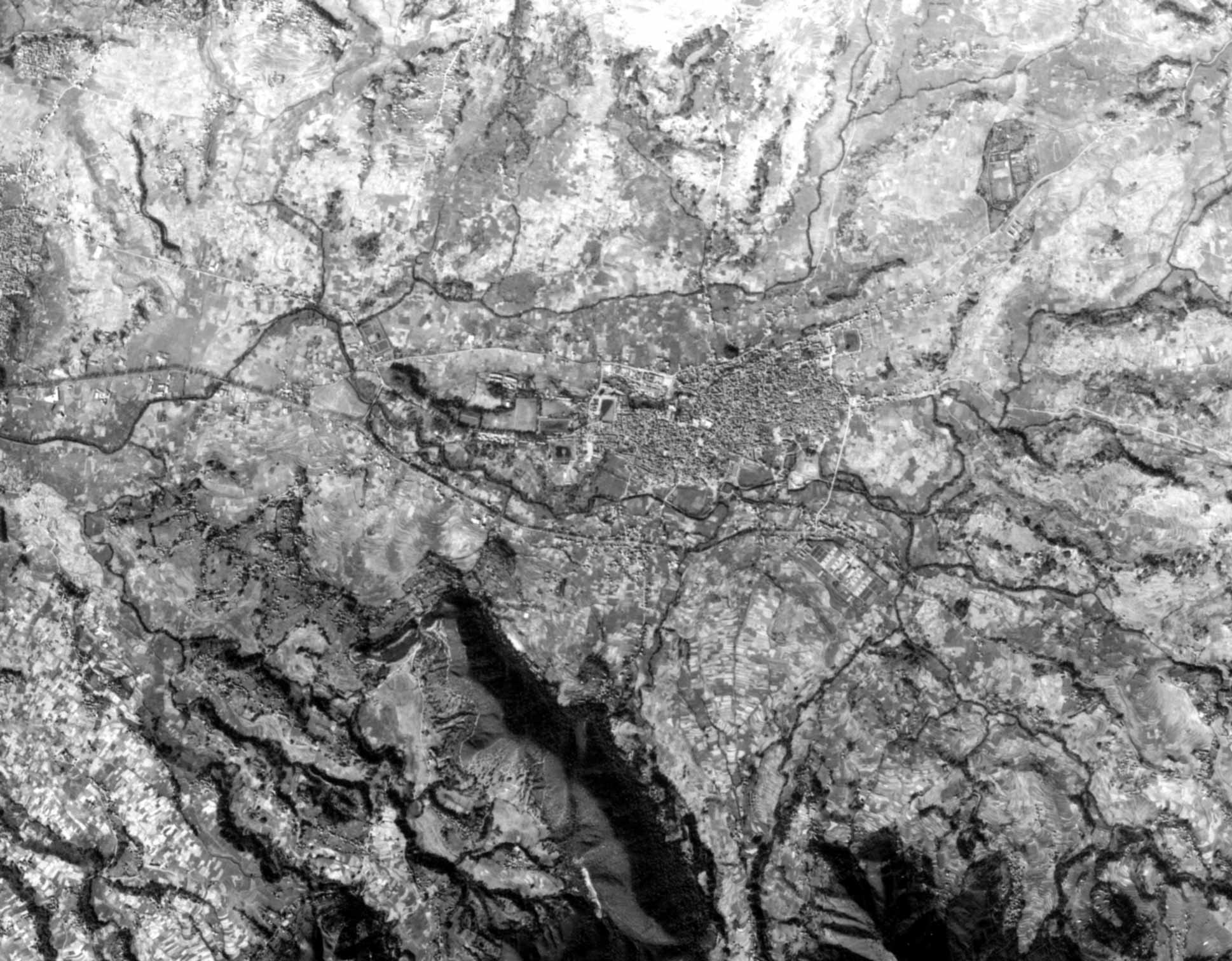
Satellite
Photograph
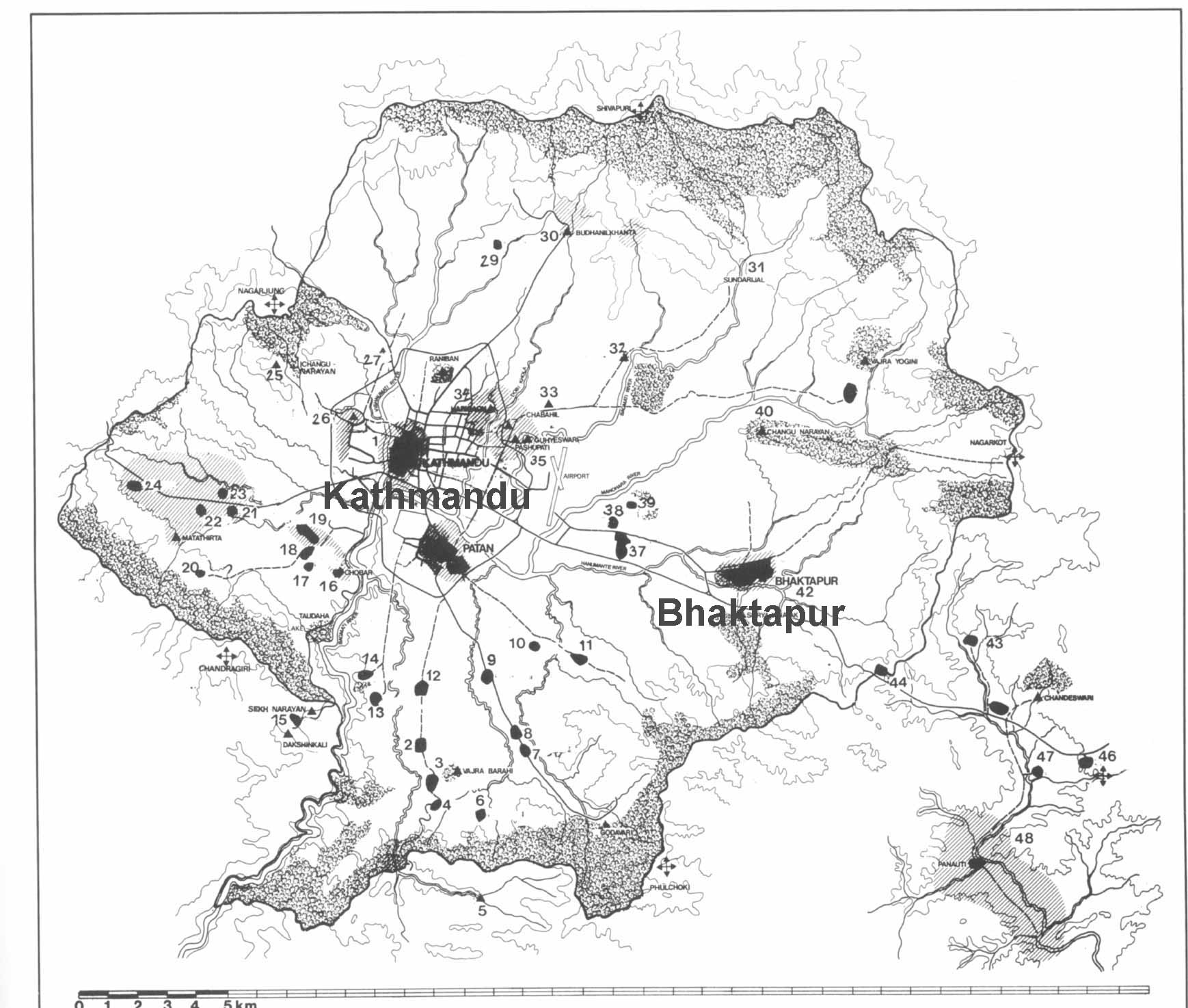
Kathmandu
Valley
Goddesses
|