Contexts
(Re)colonizing Tradition
A Pedestrian Guide to a "Traditional" City
Welcome to Bhaktapur
[1] The Tea Stall at Guhepukhu
[2] Nava Durga Chitra Mandir
[3] Khauma Square
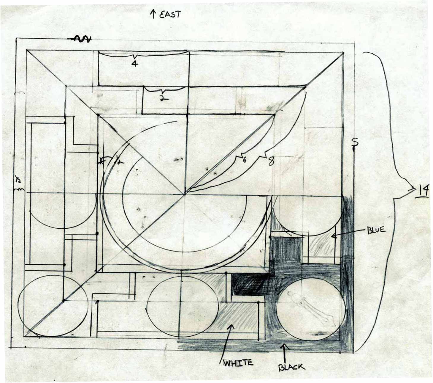
[4] Tourist Motor Park
[5] Indrani Pitha
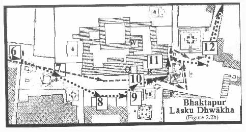
[6]Lasku Dhwakha Gate
[7]Char Dham
[8]Cafe de Temple
[9]Batsala Temple
[10] Batsala Temple
[11] City Hall
[12] The Procession Route
[13] Pujari Math
[14] The Peacock Restaurant
[15] Sewage Collection Ponds
[16] Bhairavanath Temple
|
The Mandala Map (Yantrakara Khwopa Dya:)
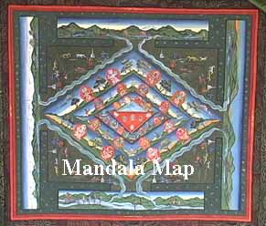
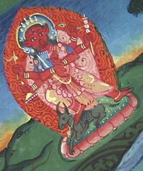
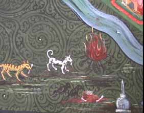
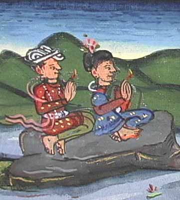
One way Bhaktapur is imagined as a sacred space is depicted in a mandala paubha painting. This paubha painting is 25 by 30 inches with a silk border of 40 by 45 inches. It was made by the artist Madhu Krishna Chitrakar and was copied from a local image.
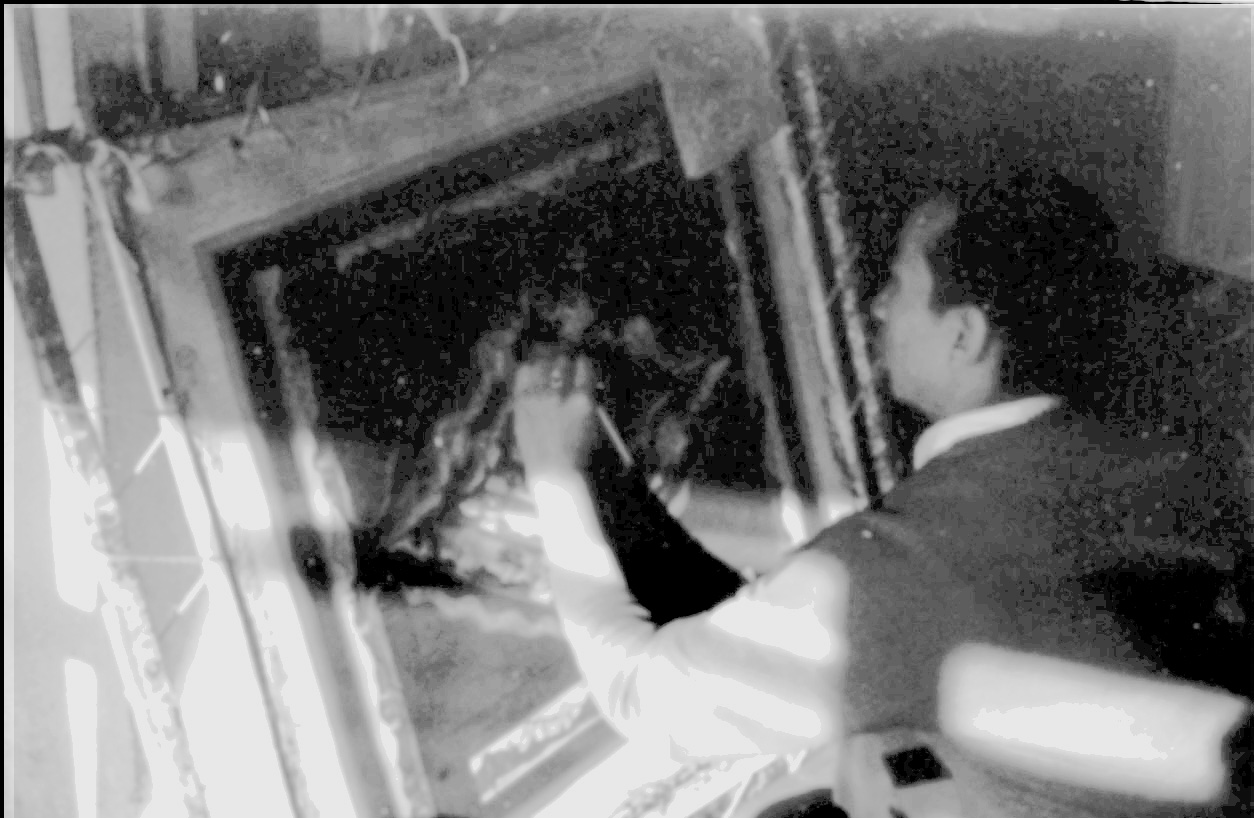
The painting depicts Bhaktapur as a mandala. This can be described as a "mandalization" of space and illustrates the degree to which Newars have arranged their world within the pattern of the mandala form. In the Mandala Map, the location and function of the Piga(n) dya: is clear in relation to present practice; the rest of the deitiesĻ locations are problematic.
  
|
Maps
Mandala Map
Tourist Map
Government
Map
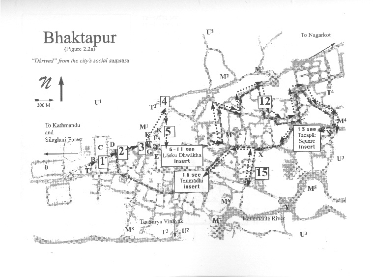
Pedestrian
Tour Map
Bhaktapur
Durbar Square
Tacapa Map
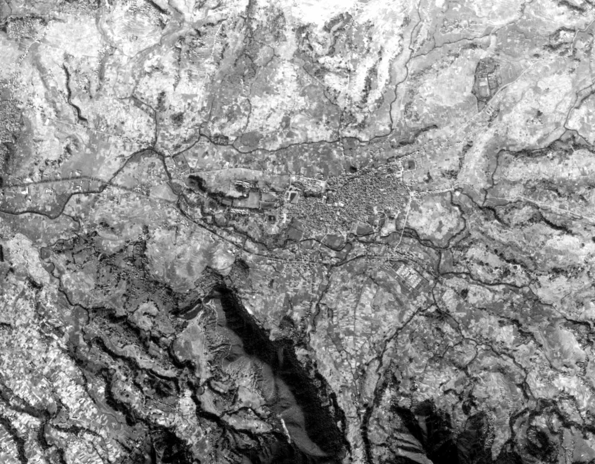
Satellite
Photograph
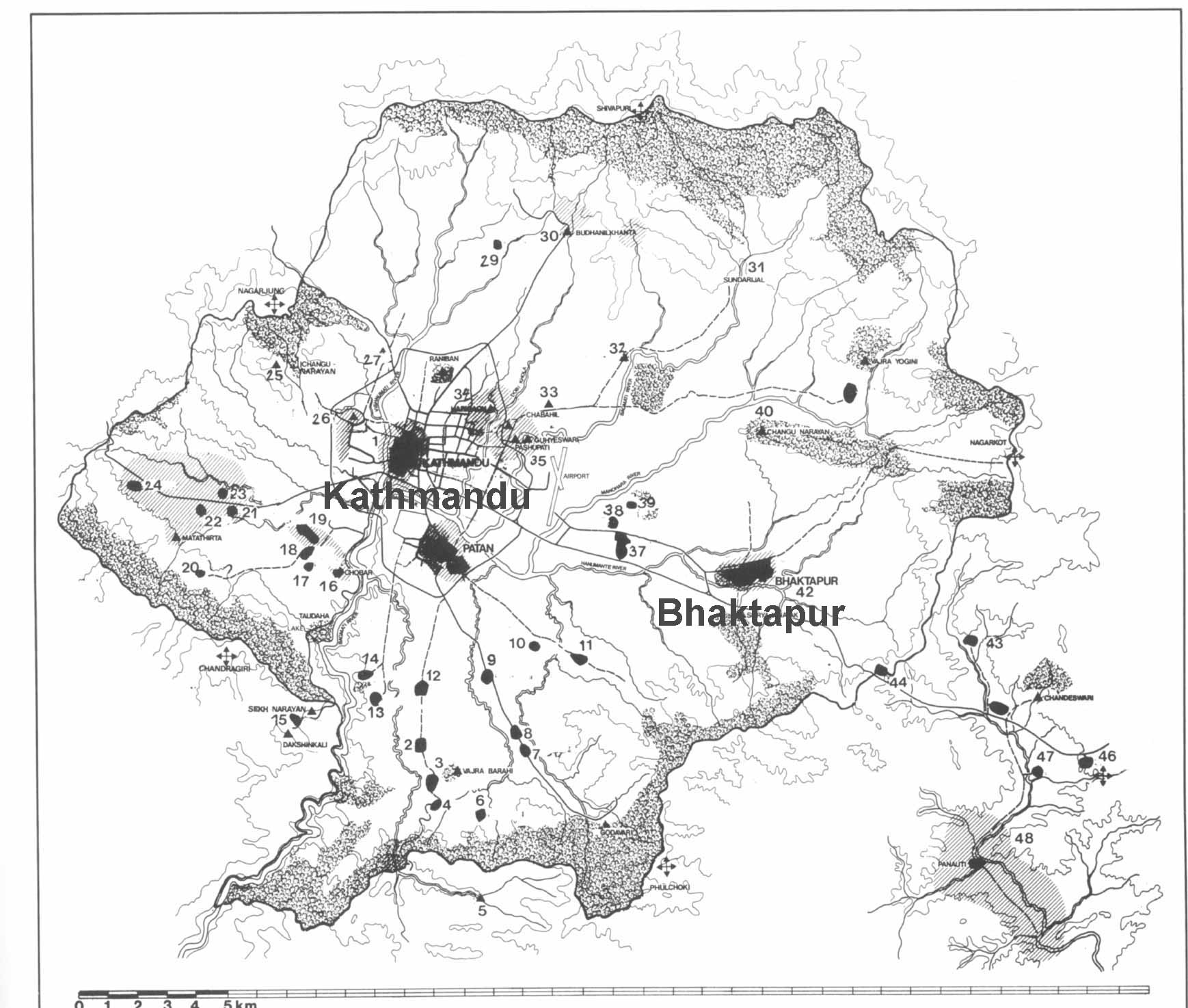
Kathmandu
Valley
Goddesses
|